MAURITIUS
ISLAND IN THE SUN
The Republic of Mauritius is a small island nation in the Indian Ocean, located about 2,000 kilometres (1,200 miles) off the southeast coast of the African continent. The country consists of the islands of Mauritius, Rodrigues (560 kilometres east of the main island), Agalega and Saint Brandon, with a total land area of 2,040 km². Its capital city is Port Louis. Mauritius, Rodrigues and La Réunion (170 kilometres away) form part of the Mascarene Islands.
Mauritius claims sovereignty over the Chagos Archipelago, situated 1,287 kilometres (800 miles) to the northeast. The United Kingdom excised the archipelago from Mauritian territory prior to independence and gradually depopulated its inhabitants.
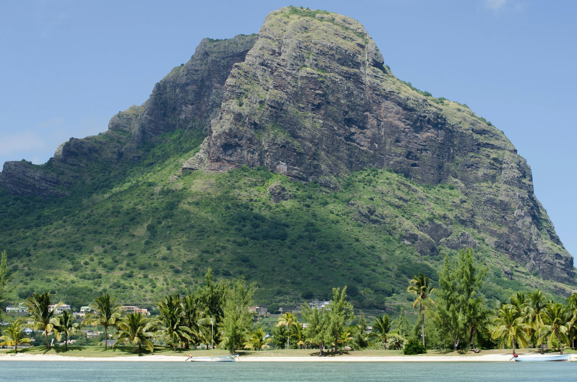
Geologically, Mauritius is relatively young, having formed through volcanic activity around 8 million years ago. Along with Rodrigues, Réunion and Saint Brandon, it emerged from underwater volcanic eruptions east of the African and Madagascan continental block. The island is no longer volcanically active, with no eruptions for over 100,000 years, as the hotspot now lies beneath Réunion.
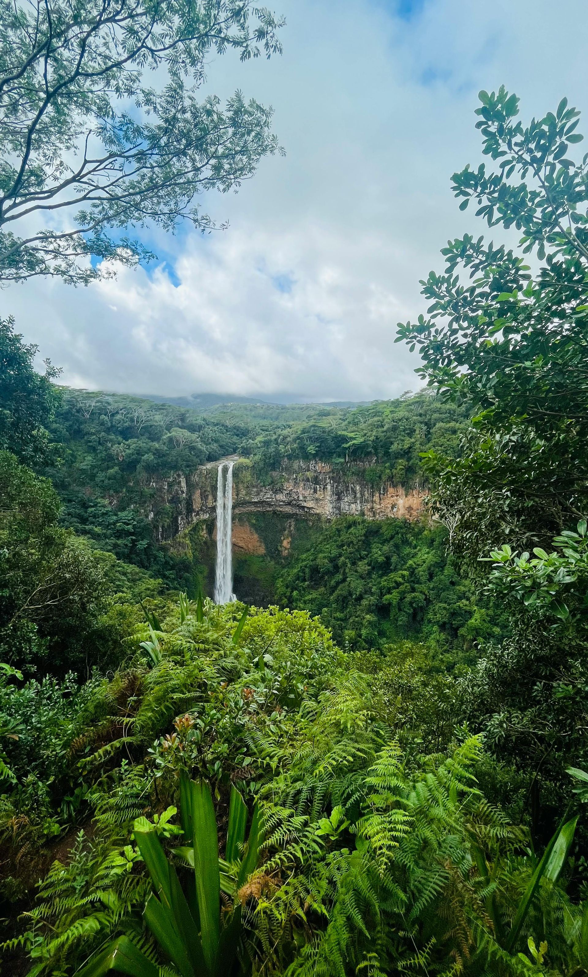
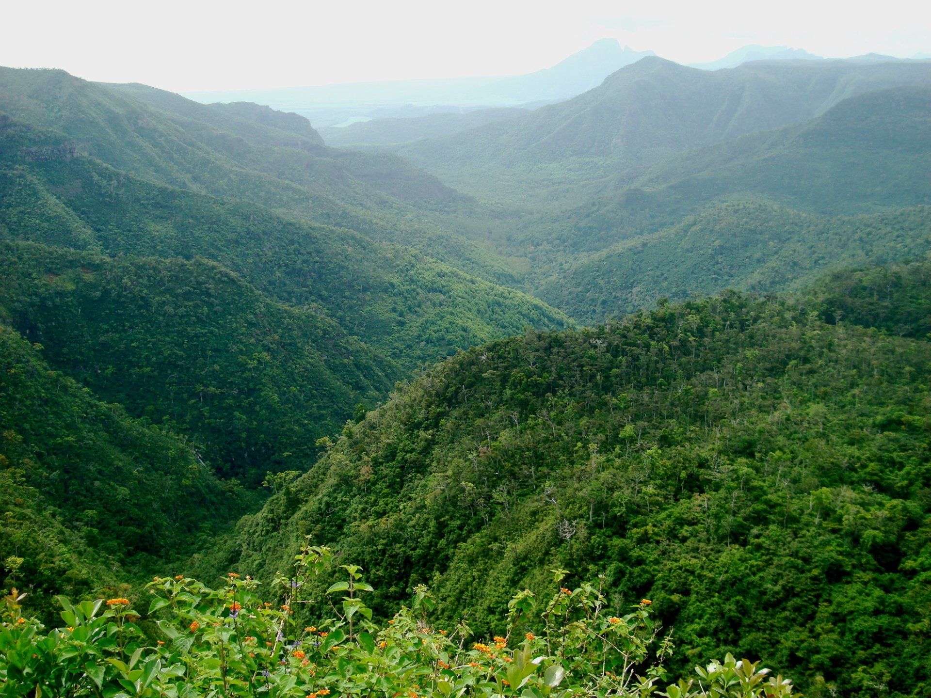
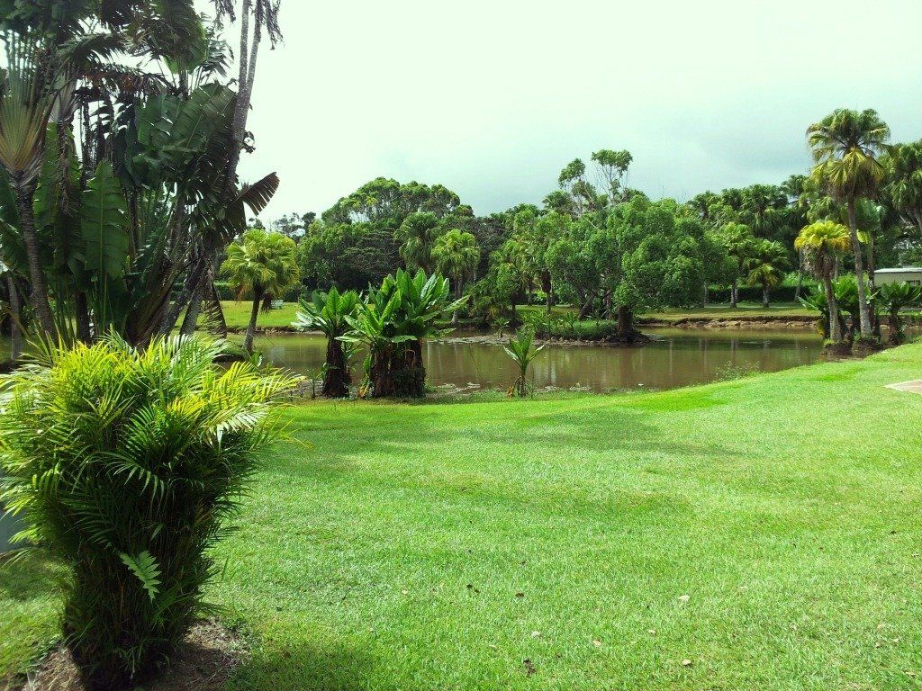
The island is encircled by broken mountain ranges rising between 300 and 800 metres above sea level. The land slopes upward from coastal plains to a central plateau reaching 670 metres, with the highest peak, Piton de la Petite Rivière Noire, standing at 828 metres (2,717 feet). Numerous rivers and streams run through the island, many formed by ancient lava flows.
Mauritius measures approximately 65 kilometres in length and 45 kilometres in width, with a land area of 1,864.8 km². It is surrounded by over 150 kilometres of white sandy beaches, with lagoons protected by the world’s third-largest coral reef. Off the coast lie about 49 uninhabited islands and islets, some designated as nature reserves to protect endangered species.
The island was first visited by Portuguese explorers in 1507 and had no indigenous population. The Dutch settled in 1598 but abandoned the island in 1710. It became a French colony in 1715 under the name Isle de France, before being taken by the British in 1810 during the Napoleonic Wars. Mauritius gained independence on 12 March 1968 and became a republic within the Commonwealth on 12 March 1992.
Mauritius is a multi-ethnic and multicultural society, with most citizens being multilingual and speaking English, French, Creole and various Asian languages. The island is also known for the dodo bird, which became extinct less than eighty years after its discovery.